Sunday, February 23, 2014

Sunrise in Kampinos Forest


What is better than sorting out taxes? A Sunday walk in Kampinos forest, a national park just on the edge of Warsaw just after sunrise.


The entrance to the forest, rather muddy at the beginning, but later leads onto wooden walkways. There is a wonderful nature trail here, which I must follow to the end another day.

Off to the left at the beginning of the trail are some 'damp' meadows which are currently being managed to prevent them being overgrown with bushes, they support several sorts of butterflies from April. 


 The meadows are in the floodplain of a small stream, which at this time of the year makes an extensive bog several kilometres across. A typical valley bottom landscape here:
 

Beyond the bog is mixed typical mixed pine and leafy forest - here mainly with an undergrowth of many species of mosses, and not a few fine lichens - amazingly for an area so close to the dirty city.


Thursday, December 27, 2012

Vegetation Zones of Central and Eastern Europe (1)


 .
The names and extents of these zones tends to vary from map to map.  This is the centre cut from a more extensive map which seems pretty clear. The Taiga runs across the top of the map, then there is a broad band of coniferous-mixed forest (except on the mountain slopes which have patches of mainly coniferous forest). On the edges of this, bordering the forest steppe (including in the carpathian basin) and in western Europe is a more deciduous forest. Right down the south, areas settled by the Slavs the dominant vegetation type is 'Mediterranean'.

http://www.civfanatics.net/uploads/europe_nv.jpg

http://www.civfanatics.net/uploads/europe_nv.jpg
In a series of posts below I want to present the main characteristics (and in particular the climax vegetation) of the various ecoregions of the part of Europe in which the early spread of the Slavic languages took place. These are the zones defined by both the WWF and incorporated into the Digital Map of European Ecological Regions created by the European Environment Agency.

Russian Taiga (2)

.
The taiga (the name is Russian for 'forest') was not settled to any extent by the Slavic-speaking communities until East Slavs penetrated the fringes of the zone (in the vicinity of Lakes Ladoga and Onega and the shores of the Gulf of Finland) some time before the 11th century AD. Another name for the ecozone is the Boreal coniferous forest, and it lies just south of the tundra. The winters in the taiga are very cold with only snowfall, while the summers are warm, rainy, and humid, though also very short with about 50 to 100 frost free days. The dominant species are coniferous trees, especially species of fir, larch, pine, and spruce (though some broad-leaved angiosperm species, especially aspen, birch, poplar, and willow also grow). The area is susceptible to wildfires and insect damage which may lead to deforestation of large areas. The fauna includes beaver, red squirrels and voles, red deer and elk can be found in regions of the taiga where more deciduous trees grow. There are also quite a few predators such as the lynx and mustelids such as wolverines, minks and ermine. Several of these species were valued in Early Medieval times for their furs.

There are some wonderful photos of the ecosystems of the region on the www.ecosystema.ru website the first five used on this page were taken by Anatoly I. Haritonov.

Mixed forest. Ladoga Province of taiga, Nizhnesvirsky Reserve, Leningrad Region-  

Mature pine (light-coniferous) blueberry forest with Ledum. South Karelia

The Dolgaya river - a tributary of the river Luga.
Ladoga Province of taiga, Nizhnesvirsky Reserve,
Leningrad Region
Waterlogged dark coniferous (spruce) forest.
Ladoga Province of taiga, Nizhnesvirsky Reserve,
Leningrad Region

Steep bank of Lake Ladoga. Ladoga Province of taiga, Nizhnesvirsky Reserve,
Leningrad Region

And a few photos to remind us why the area was not particularly inviting for settlement. These three photos from the villa.ru website, taken in the St Petersburg region in winter.

Winter landscape
winter landscape


Wednesday, December 26, 2012

Sarmatic Mixed Forests (3)

 
The name 'Sarmatic Mixed Forests' is used in the World Wide Fund for Nature classification (ecoregion PA0436) for a European ecoregion extending over a 
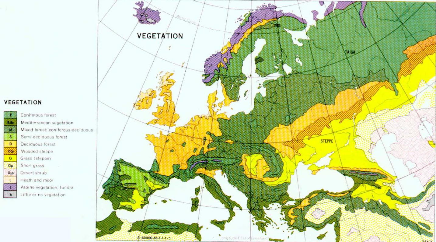
sizable portion of northern Europe and the Ural area of Russia: "between boreal forests/taiga in the north and the broadleaf belt in the south [...] in southernmost Norway, southern Sweden, southwesternmost Finland, Estonia, Latvia, northern Lithuania, northern Belarus and the central part of European Russia". It extends to the Urals in the east and borders on the forest steppe on the south, and is treated as separate from the Central European mixed forests. The ecoregion is abundant in surface water resources, with more than ten thousand lakes and 20,000 rivers and streams, this leads to the creation of boggy forests, that are particularly rich in wetland plants on the forest floor.

Sarmatic mixed forests stretch from southern Norway to the Ural Mountains. Source: World Wildlife Fund

Typically, Sarmatic mixed forests comprise a transition into boreal taiga at their northern limit and mixed broadleaf forests at their southern limit. They are comprised of a mixed conifer broadleaf plant association dominated by Norway Spruce (Picea abies - which disappears further south due to insufficient moisture) and Scots Pine (pinus sylvestris - in drier locations) with some broadleaf admixture, especially oak species such as Quercus robur in the north. Toward the southern limits of the ecoregion is a conspicuous increase in broadleaf tree species including birch, beech, aspen, ash, aspen and oak. There are also a number of shrubs, wildflowers, grasses and mosses that inhabit the mid-tier and forest floor. Common low-growing shrubs include Bilberry (Vaccinium myrtillus) and Heather (Calluna vulgaris).

It is interesting to note that the name refers to a passage in the Germania of Tacitus.

Source:
C Michael Hogan (Lead Author);Sidney Draggan Ph.D. (Topic Editor) "Sarmatic mixed forests". In: Encyclopedia of Earth. Eds. Cutler J. Cleveland (Washington, D.C.: Environmental Information Coalition, National Council for Science and the Environment). December 3, 2010.

Globalspecies.org Google map

Monday, December 24, 2012

Baltic Mixed Forests (4)


The Baltic mixed forests consist of temperate broadleaf and mixed forests in northwestern continental Europe across a region stretching from Denmark eastward across northern Germany (to the north of the Elbe River), and in Poland, north of the Oder River. This ecoregion encompasses many different habitats. The dominant vegetation type is submontane beech and mixed beech forest. The other trees which may be present include oak, ash (Fraxinus excelsior) and  sycamore maple (Acer pseudoplatanus)


Buchenwald forest


UNESCO World Heritage sites - Ancient Beech forests in Brandenburg, 
Hesse, Mecklenburg-Western Pomerania and Thuringia
 Forest Mecklenburg - a gallery on Flickr

Map of Baltic Mixed Forest location (globalspecies.org)

Hogan, C and Draggan, P.D., "Baltic mixed forests". In: Encyclopedia of Earth. Eds. Cutler J. Cleveland (Washington, D.C.: Environmental Information Coalition, National Council for Science and the Environment).


Sunday, December 23, 2012

Western European Broadleaf Forests (5)

.
There are a few patches of Western European broadleaf forest ecosystems on the western fringes of the areas occupied by the Early Medieval Slavic-speaking communities, in Austria, Czech Republic (Bohemian Massif), western Germany (Central German Uplands, Bavarian Plateau) and adjacent areas.  It is essentially composed of lowland and alti-montane beech and mixed beech forests  It also includes small areas of sub-Mediterranean and meso-supra-Mediterranean downy oak forests and mixed oak hornbeam forests. This ecoregion hosts a good variety of animal species, birds in particular, and formerly a range of larger mammals.

 Beech forest, Vtáčnik, Slovakia (Wikipedia)

Broadleaf  forest (naturepl.com)
 
Map of distribution of W. European Broadleaf Forest (Encyclopedia of the Earth)


Globalspecies.org Google map of the western European Broadleaf forests 
 

 Globalspecies.org Google map of the western European Broadleaf forests